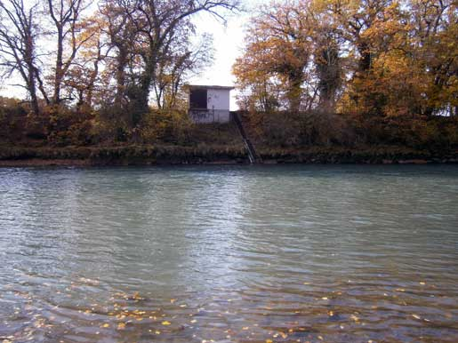
Arve - Genève, Bout du Monde 2170
Discharge and Water level
Temperature
|
Discharge
m³/s
|
Water level
m a.s.l.
|
Temperature
°C
|
Turbidity
NTU
|
|
|---|---|---|---|---|
|
Last reading
16.05.2026 00:10
|
107
|
379.90
|
8.6
|
29
|
| 24hr mean | 108 | 379.91 | 8.3 | 33 |
| 24hr maximum | 111 | 379.94 | 9.0 | 49 |
| 24hr minimum | 105 | 379.88 | 7.7 | 28 |
Danger levels
Discharge m³/s
- 5 > 820
- 4 740 - 820
- 3 660 - 740
- 2 490 - 660
- 1 < 490
Graphs
Regarding alerts, the statements as interpreted in the natural hazard bulletin on www.natural-hazards.ch are authoritative. The hydrological forecasts shown are direct model outputs. Explanatory notes on forecast plots
Data and statistics
Key figures Discharge
| Jan | Feb | Mar | Apr | May | Jun | Jul | Aug | Sep | Oct | Nov | Dec | |
|---|---|---|---|---|---|---|---|---|---|---|---|---|
| Monthly mean | 50 m³/s | 51 m³/s | 63 m³/s | 85 m³/s | 114 m³/s | 128 m³/s | 109 m³/s | 86 m³/s | 67 m³/s | 56 m³/s | 59 m³/s | 54 m³/s |
| Maximum reading |
635 m³/s
13.01.2004
|
680 m³/s
25.02.1957
|
563 m³/s
22.03.2001
|
524 m³/s
29.04.1977
|
923 m³/s
02.05.2015
|
664 m³/s
29.06.1974
|
673 m³/s
08.07.1980
|
556 m³/s
08.08.1978
|
840 m³/s
22.09.1968
|
681 m³/s
11.10.1981
|
1009 m³/s
15.11.2023
|
793 m³/s
13.12.2023
|
| Minimum daily mean value |
11 m³/s
28.01.2017
|
12 m³/s
11.02.1942
|
13 m³/s
01.03.1942
|
29 m³/s
26.04.1938
|
30 m³/s
03.05.1938
|
45 m³/s
06.06.1976
|
37 m³/s
28.07.1976
|
32 m³/s
26.08.2025
|
20 m³/s
29.09.1972
|
14 m³/s
30.10.1947
|
11 m³/s
30.11.2011
|
10 m³/s
01.12.2011
|
Annual mean
Highest
102 m³/s
1951
Lowest
46 m³/s
1976
Mean
76 m³/s
Total period
Key figures Temperature
| Jan | Feb | Mar | Apr | May | Jun | Jul | Aug | Sep | Oct | Nov | Dec | |
|---|---|---|---|---|---|---|---|---|---|---|---|---|
| Monthly mean | 4.0 °C | 4.7 °C | 6.7 °C | 8.6 °C | 10.0 °C | 11.1 °C | 11.7 °C | 11.6 °C | 11.1 °C | 9.5 °C | 6.7 °C | 4.6 °C |
| Maximum reading |
8.2 °C
01.01.2023
|
9.2 °C
19.02.2024
|
11.1 °C
29.03.1998
|
13.4 °C
26.04.2011
|
14.6 °C
24.05.2011
|
15.3 °C
29.06.2025
|
15.7 °C
22.07.2015
|
16.2 °C
06.08.2018
|
15.2 °C
08.09.2013
|
13.9 °C
02.10.2019
|
12.0 °C
09.11.1985
|
8.8 °C
06.12.2006
|
| Minimum reading |
0.0 °C
08.01.1985
|
0.0 °C
04.02.2012
|
0.3 °C
07.03.1971
|
4.1 °C
06.04.1970
|
5.8 °C
14.05.1995
|
7.0 °C
05.06.1987
|
7.6 °C
25.07.1996
|
8.2 °C
24.08.1998
|
7.3 °C
30.09.1995
|
4.8 °C
26.10.2003
|
1.0 °C
27.11.2005
|
-0.2 °C
03.12.1973
|
Annual mean
Highest
9.3 °C
2022
Lowest
7.2 °C
1970
Mean
8.4 °C
Total period
Station information
- Station altitude
- 384 m a.s.l.
- Catchment size
- 1973 km2
- Mean catchment altitude
- 1370 m a.s.l.
- Glacial area
- 5.100%
- Station coordinates
- 2'501'212 / 1'115'123