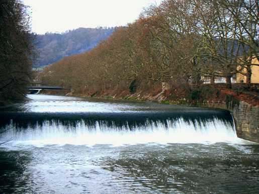
Sihl - Zürich, Sihlhölzli 2176
Discharge and Water level
Temperature
|
Discharge
m³/s
|
Water level
m a.s.l.
|
Temperature
°C
|
|
|---|---|---|---|
|
Last reading
|
3.3
28.12.2025 23:55
|
412.27
28.12.2025 23:55
|
2.7
28.12.2025 23:50
|
| 24hr mean | 3.3 | 412.27 | 2.7 |
| 24hr maximum | 3.4 | 412.27 | 3.1 |
| 24hr minimum | 3.2 | 412.26 | 2.5 |
Danger levels
Discharge m³/s
- 5 > 400
- 4 300 - 400
- 3 200 - 300
- 2 100 - 200
- 1 < 100
Graphs
Regarding alerts, the statements as interpreted in the natural hazard bulletin on www.natural-hazards.ch are authoritative. The hydrological forecasts shown are direct model outputs. Explanatory notes on forecast plots
Data and statistics
Key figures Discharge
| Jan | Feb | Mar | Apr | May | Jun | Jul | Aug | Sep | Oct | Nov | Dec | |
|---|---|---|---|---|---|---|---|---|---|---|---|---|
| Monthly mean | 5.5 m³/s | 6.0 m³/s | 7.6 m³/s | 8.1 m³/s | 7.7 m³/s | 7.9 m³/s | 8.0 m³/s | 7.4 m³/s | 6.3 m³/s | 5.2 m³/s | 5.9 m³/s | 5.9 m³/s |
| Maximum reading |
120 m³/s
14.01.1968
|
120 m³/s
25.02.1957
|
105 m³/s
07.03.1939
|
103 m³/s
22.04.2008
|
250 m³/s
22.05.1999
|
205 m³/s
26.06.1953
|
248 m³/s
13.07.2021
|
280 m³/s
22.08.2005
|
210 m³/s
29.09.1945
|
158 m³/s
10.10.2011
|
210 m³/s
08.11.1939
|
229 m³/s
13.12.2023
|
| Minimum daily mean value |
0.75 m³/s
01.01.1950
|
1.0 m³/s
05.02.1950
|
1.5 m³/s
02.03.1949
|
2.2 m³/s
18.04.1948
|
2.2 m³/s
28.05.1950
|
2.1 m³/s
15.06.1947
|
1.4 m³/s
09.07.1949
|
1.5 m³/s
31.08.1947
|
1.1 m³/s
21.09.1947
|
1.2 m³/s
02.10.1947
|
1.4 m³/s
17.11.1962
|
1.3 m³/s
31.12.1949
|
Annual mean
Highest
10 m³/s
1939
Lowest
3.7 m³/s
1949
Mean
6.8 m³/s
Total period
Station information
- Station altitude
- 416 m a.s.l.
- Catchment size
- 343 km2
- Mean catchment altitude
- 1045 m a.s.l.
- Glacial area
- 0.000%
- Station coordinates
- 2'682'137 / 1'246'891