Doubs - Combe des Sarrasins 2270
|
Wasserstand
m ü.M.
|
|
|---|---|
|
Letzter Messwert
19.03.2026 14:50
|
540.70
|
| Mittelwert 24h | 540.76 |
| Maximum 24h | 540.84 |
| Minimum 24h | 540.69 |
Daten und Statistiken
Hochwasser
Stationsbericht Hochwasserstatistik
Hintergrundinformationen zur Hochwasserstatistik
Niedrigwasser
Stationsinformationen
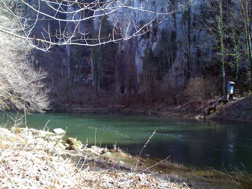
- Stationshöhe
- 542 m ü.M.
- Fläche des Einzugsgebiets
- 999 km2
- Mittlere Höhe des Einzugsgebiets
- 977 m ü.M.
- Vergletscherung
- 0.00 %
- Koordinaten der Station
- 2'557'513 / 1'227'285