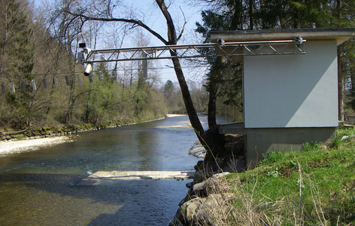
Emme - Wiler, Limpachmündung, nur Hauptstation 2155
Information
Dies ist eine Hauptstation. Abflussberechnung: Hauptstation (2155) + Nebenstation (2156) + Nebenstation (2157) = Totalstation (0155)
Discharge and Water level
|
Discharge
m³/s
|
Water level
m a.s.l.
|
Turbidity
NTU
|
|
|---|---|---|---|
|
Last reading
30.05.2026 15:30
|
1.6
|
455.66
|
0
|
| 24hr mean | 1.5 | 455.66 | 0 |
| 24hr maximum | 1.7 | 455.67 | 0 |
| 24hr minimum | 1.5 | 455.66 | 0 |
Danger levels
Discharge m³/s
- 5 > 600
- 4 510 - 600
- 3 430 - 510
- 2 270 - 430
- 1 < 270
Graphs
Regarding alerts, the statements as interpreted in the natural hazard bulletin on www.natural-hazards.ch are authoritative. The hydrological forecasts shown are direct model outputs. Explanatory notes on forecast plots
Data and statistics
Key figures Discharge
| Jan | Feb | Mar | Apr | May | Jun | Jul | Aug | Sep | Oct | Nov | Dec | |
|---|---|---|---|---|---|---|---|---|---|---|---|---|
| Monthly mean | 8.6 m³/s | 8.6 m³/s | 11 m³/s | 13 m³/s | 13 m³/s | 12 m³/s | 11 m³/s | 8.1 m³/s | 6.4 m³/s | 6.0 m³/s | 7.3 m³/s | 9.7 m³/s |
| Maximum reading |
264 m³/s
22.01.2018
|
238 m³/s
05.02.1980
|
386 m³/s
12.03.1981
|
185 m³/s
22.04.2008
|
370 m³/s
19.05.1994
|
446 m³/s
12.06.1997
|
436 m³/s
22.07.2007
|
650 m³/s
08.08.2007
|
465 m³/s
18.09.2006
|
255 m³/s
10.10.1988
|
345 m³/s
14.11.2023
|
390 m³/s
22.12.1991
|
| Minimum daily mean value |
0.64 m³/s
07.01.2004
|
1.0 m³/s
11.02.2006
|
0.97 m³/s
22.03.2022
|
0.97 m³/s
22.04.2007
|
0.90 m³/s
22.05.2022
|
0.52 m³/s
30.06.1976
|
0.57 m³/s
04.07.1976
|
0.66 m³/s
06.08.2024
|
0.54 m³/s
27.09.2003
|
0.55 m³/s
17.10.2018
|
0.56 m³/s
05.11.2018
|
0.62 m³/s
10.12.2003
|
Annual mean
Highest
16 m³/s
1999
Lowest
2.9 m³/s
1976
Mean
9.5 m³/s
Total period
Station information
- Station altitude
- 459 m a.s.l.
- Catchment size
- 924 km2
- Mean catchment altitude
- 863 m a.s.l.
- Glacial area
- 0.000%
- Station coordinates
- 2'608'228 / 1'223'238