Rhone - Oberwald 2623
Information
Die aktuellen Daten können im Winter durch Vereisung der Anlage stark verfälscht sein.
Temperatur
|
Temperatur
°C
|
|
|---|---|
|
Letzter Messwert
02.04.2026 07:00
|
1.1
|
| Mittelwert 24h | 2.5 |
| Maximum 24h | 4.7 |
| Minimum 24h | 1.1 |
Daten und Statistiken
Kennzahlen Temperatur
| Jan | Feb | Mär | Apr | Mai | Jun | Jul | Aug | Sep | Okt | Nov | Dez | |
|---|---|---|---|---|---|---|---|---|---|---|---|---|
| Monatsmittel | 1.4 °C | 1.9 °C | 2.6 °C | 3.8 °C | 4.6 °C | 5.5 °C | 6.1 °C | 6.0 °C | 5.6 °C | 4.6 °C | 2.5 °C | 1.4 °C |
| Maximaler Messwert |
3.9 °C
24.01.2024
|
5.9 °C
29.02.2024
|
7.1 °C
23.03.2023
|
10.2 °C
25.04.2011
|
10.6 °C
20.05.2007
|
10.6 °C
03.06.2007
|
10.6 °C
17.07.2016
|
10.9 °C
15.08.2006
|
10.9 °C
01.09.2006
|
9.7 °C
02.10.2007
|
6.7 °C
01.11.2005
|
5.1 °C
01.12.2014
|
| Minimaler Messwert |
0.0 °C
05.01.2025
|
0.0 °C
01.02.2022
|
0.0 °C
30.03.2024
|
0.0 °C
17.04.2025
|
0.6 °C
28.05.2007
|
1.2 °C
11.06.2019
|
3.1 °C
16.07.2016
|
2.3 °C
27.08.2011
|
1.3 °C
26.09.2020
|
0.0 °C
30.10.2008
|
0.0 °C
21.11.2024
|
-0.1 °C
31.12.2005
|
Jahresmittel
Höchstes
4.2 °C
2025
Tiefstes
3.5 °C
2026
Mittelwert
3.8 °C
Gesamte Periode
Stationsinformationen
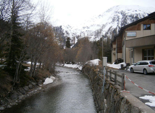
- Stationshöhe
- 1369 m ü.M.
- Fläche des Einzugsgebiets
- 93 km2
- Mittlere Höhe des Einzugsgebiets
- 2466 m ü.M.
- Vergletscherung
- 19.30 %
- Koordinaten der Station
- 2'669'857 / 1'154'077