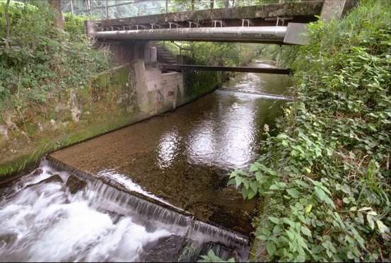
Langete - Huttwil, Häberenbad 2343
Discharge and Water level
Temperature
|
Discharge
m³/s
|
Water level
m a.s.l.
|
Temperature
°C
|
|
|---|---|---|---|
|
Last reading
23.01.2026 09:50
|
0.70
|
596.98
|
3.8
|
| 24hr mean | 0.72 | 596.98 | 4.0 |
| 24hr maximum | 0.92 | 597.00 | 4.6 |
| 24hr minimum | 0.56 | 596.96 | 3.0 |
Danger levels
Discharge m³/s
- 5 > 70
- 4 50 - 70
- 3 35 - 50
- 2 15 - 35
- 1 < 15
Data and statistics
Key figures Discharge
| Jan | Feb | Mar | Apr | May | Jun | Jul | Aug | Sep | Oct | Nov | Dec | |
|---|---|---|---|---|---|---|---|---|---|---|---|---|
| Monthly mean | 1.3 m³/s | 1.4 m³/s | 1.5 m³/s | 1.4 m³/s | 1.3 m³/s | 1.3 m³/s | 1.1 m³/s | 1.0 m³/s | 0.93 m³/s | 0.97 m³/s | 1.1 m³/s | 1.3 m³/s |
| Maximum reading |
20 m³/s
22.01.2018
|
20 m³/s
05.02.1980
|
20 m³/s
09.03.2006
|
22 m³/s
29.04.1999
|
25 m³/s
09.05.2003
|
78 m³/s
08.06.2007
|
55 m³/s
11.07.1978
|
51 m³/s
30.08.1975
|
24 m³/s
18.09.2006
|
18 m³/s
25.10.1998
|
24 m³/s
22.11.1972
|
21 m³/s
25.12.1995
|
| Minimum daily mean value |
0.449 m³/s
12.01.1990
|
0.469 m³/s
02.02.1992
|
0.55 m³/s
06.03.1993
|
0.469 m³/s
18.04.1997
|
0.461 m³/s
29.05.2022
|
0.365 m³/s
20.06.2022
|
0.344 m³/s
25.07.2019
|
0.281 m³/s
19.08.1992
|
0.316 m³/s
12.09.2023
|
0.304 m³/s
13.10.2023
|
0.392 m³/s
25.11.2018
|
0.409 m³/s
01.12.2018
|
Annual mean
Highest
1.8 m³/s
2001
Lowest
0.74 m³/s
2022
Mean
1.2 m³/s
Total period
Key figures Temperature
| Jan | Feb | Mar | Apr | May | Jun | Jul | Aug | Sep | Oct | Nov | Dec | |
|---|---|---|---|---|---|---|---|---|---|---|---|---|
| Monthly mean | 4.5 °C | 4.5 °C | 6.0 °C | 8.7 °C | 11.0 °C | 13.4 °C | 14.6 °C | 14.6 °C | 12.9 °C | 10.7 °C | 7.8 °C | 5.4 °C |
| Maximum reading |
9.4 °C
19.01.2007
|
9.8 °C
24.02.2020
|
11.9 °C
31.03.2017
|
14.8 °C
29.04.2012
|
16.4 °C
29.05.2017
|
18.8 °C
23.06.2022
|
20.2 °C
24.07.2015
|
20.7 °C
05.08.2022
|
18.4 °C
21.09.2020
|
14.8 °C
14.10.2023
|
12.3 °C
01.11.2022
|
9.7 °C
05.12.2006
|
| Minimum reading |
0.8 °C
18.01.2006
|
0.1 °C
04.02.2012
|
0.2 °C
01.03.2005
|
3.1 °C
08.04.2003
|
5.7 °C
07.05.2019
|
8.0 °C
04.06.2013
|
10.8 °C
14.07.2004
|
11.1 °C
09.08.2005
|
8.4 °C
28.09.2008
|
4.8 °C
25.10.2003
|
1.6 °C
27.11.2005
|
0.7 °C
27.12.2010
|
Annual mean
Highest
10.3 °C
2023
Lowest
8.9 °C
2005
Mean
9.5 °C
Total period
Station information
- Station altitude
- 602 m a.s.l.
- Catchment size
- 60 km2
- Mean catchment altitude
- 760 m a.s.l.
- Glacial area
- 0.000%
- Station coordinates
- 2'629'581 / 1'219'138